May 5, 2015

Smith Point Light - Chesapeake Bay

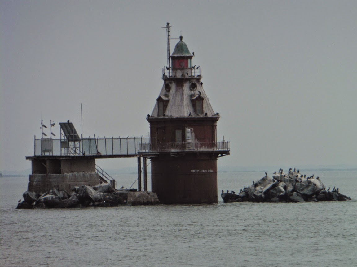
Point No Point Light - Chesapeake Bay

Coast Guard Cutter "Eagle"

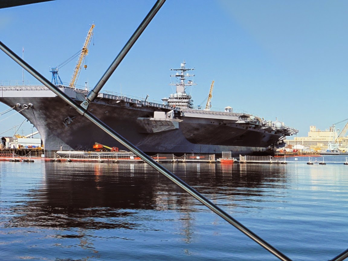
Patuxent Naval Air Station
 |
| Calvert Cliffs |

Solomons Harbor

Calvert Marine Museum
We left the Somervilles’ dock at 6:45 a.m. for a 49 mile
trip up to Solomons Harbor Marina in Solomons, Maryland, where we have stayed
many times before – sometimes for several days at a time. A large Holiday Inn is on the premises, with
two good Chinese restaurants: “China Harbor” and “Laughing Buddha”, a Post
Office, a West Marine, a seafood store, as well as a barbecue restaurant all
within walking distance. We have had
prop repairs made here and have used the services of a local diver, as well as
those of several mechanics on various occasions. As we left the Great Wicomico River and
entered Chesapeake Bay, we encountered many fish trap and pot areas which we
had to avoid, and the winds were out of the South at 10- 15 mph - gusting to 20
mph, but after we passed the wide Potomac River entrance, the waves calmed down
considerably, and we had a calm ride up the Bay and into the Patuxent River,
and were accompanied by jets from the nearby Patuxent Naval Air Station flying
overhead who were practicing take-offs and landings. “Reflection” was tied up at 12:15 p.m., and Pat
headed up to the laundry facilities at the hotel. However, the dryer in the
first laundry room was out of commission, so she then moved to another laundry. Unfortunately, this dryer, too, was not really
operating as well as it should have, so it was about 5 p.m. before she was able
to return to the boat. We then walked to
the “Laughing Buddha” restaurant, where we had an excellent meal. However, this was a “Dancing With the Stars”
result show night, so we ate quickly so that we could return not only in time
for the show, but also in order to beat the rain that was predicted for the
evening, and we just succeeded in doing so!
May 6, 2015
 Cove Point Light
"CCNI Valparaiso" approaching the Chesapeake Bay Bridge
 Chesapeake Bay Bridge
  Entrance to Still Pond Anchorage
Still Pond Anchorage
Under somewhat foggy and overcast skies, we headed out at
6:50 a.m., and our original plan was to anchor in the Magothy River north of Annapolis
for the night. However, we would have
arrived there quite early in the afternoon, so we decided that we could push on
further to an anchorage in Still Pond on the eastern side of Chesapeake Bay – a
distance of 86 miles. By doing this today,
we could leave early tomorrow morning and go directly to Cape May, which would
enable us to get home a day earlier than planned. It continued to be somewhat gloomy north of
the Annapolis Bridge with very few boats out on the water, and as we turned off
of the Bay we carefully made our way through Still Pond’s shallow, tight
entrance channel, and then safely anchored at 3:50 p.m. in about 8 ½ feet
of water. The TV/WIFI/and Phone service was “iffy”
here, despite its proximity to Baltimore, but it was nice to be aboard our boat
by ourselves in this lovely secluded spot which is surrounded by trees with
just a few houses and a Coast Guard station nearby, and we enjoyed a quiet
evening watching old movies and our “Big Bang Theory” DVDs.
May 7, 2015


Cape May Coast Guard Station
Because we knew that today’s trip would be a long one, we
pulled up anchor at 5:45 a.m. for our 102 mile journey to Cape May Harbor. It was a cool morning with temps in the low 50s,
but we were treated to a spectacular sunrise as we headed north up Chesapeake
Bay. “Reflection” then soon approached and
passed through the C & D Canal, and finally left the Canal and entered the
waters of the Delaware River and Bay at 10 a.m.
We saw a number of cargo ships and car-carriers en route to the ports of
Baltimore, Wilmington, and Philadelphia, and even though we stayed outside the
ship channel, we did experience the large wake made by at least two of these
big ships. In the River and the upper
Bay area which is narrow, the seas were almost flat calm, but as we travelled
south where the Bay widens and is open to the sea, the winds came out of the East/Southeast
at about 10 – 15 mph with 2 foot waves as we neared Cape May Inlet. We proceeded between the jetties, and passed
the Cape May Ferry terminal in the Cape May Canal, complete with the sign: “Welcome
to New Jersey!”, and it felt good to be in our home waters. We could see a fog bank forming over the
ocean, so we promptly anchored at 3:35 p.m. right off the Coast Guard station
in Cape May Harbor along with a number of sailboats in front of and behind
us. With heavy fog predicted for the
over-night hours, we hoped that it would lift in time for us to make the ocean
run to Atlantic City tomorrow.
May 8, 2015
Though we were awake early, the fog was so thick in Cape
May Harbor, that we didn’t chance moving.
George eventually ended up phoning the National Weather Service in Mt.
Holly, New Jersey, and spoke directly to a meteorologist about when conditions
might improve, and was told that it might not be until 11 a.m. This would work for us, because we had only a
49 mile trip to Atlantic City, and we could easily make it in 4 – 5 hours,
depending on how fast we wanted to go.
So we hung out, and indeed by 11 a.m., conditions were clearing in the
harbor and we could see blue sky overhead, so we picked up the anchor and made
our way to the Inlet. As we proceeded
out, however, a short distance farther we were hit with the likes of fog that
we have not often seen since our sailing days off of Block Island some 30 years
ago! Luckily, now not only were we
onboard a much larger vessel, but we were also equipped with Radar, GPS, and
AIS, so we knew where we were, and were able to detect the location of other
vessels, as well as buoys, etc. We, indeed, could travel by instruments alone, but
we always really prefer to actually SEE other vessels, landmarks, crab/fish
pots, and other obstructions. The seas were almost calm and were coming out of
a South/Southeast direction with only a 2 – 3’ swell, but it
was certainly eerie not being able to see the huge hotels and casinos on the
Atlantic City Boardwalk, which we normally spot from some 15 – 20 miles
away! Captain George persevered, however,
and expertly brought “Reflection” exactly to the turning marker at the entrance
of the Absecon Inlet, and as we finally made our turn between the two jetties,
the fog did not begin to lift until we were well inside. Admiral Pat, who was white-knuckled” through
most of this trip, breathed a sigh of relief, and we were tied up at Gardiner’s
Basin Marina in Atlantic City at 3 p.m.
Our friends, Lou and Judy Ianniello, drove down to meet us at 6 p.m.,
and after cocktails aboard, we had a great dinner at the “Back Bay Ale House”
on the marina premises. They returned to
the boat for a game of “Mexican Train Dominoes” with us, which is our usual
Friday night ritual when we are at home, and afterwards they drove back to
Brick.
May 9, 2015
It was good not to have to get up at the crack of dawn, since
we planned to spend another day in Atlantic City so that we could do a little
gambling, and, in general, just have a “fun” day without any chores, or being
on the move. First, we enjoyed a
wonderful breakfast at “Gilchrist’s”, which is adjacent to Gardiner’s Basin,
and is a favorite of ours for its good food, generous portions, and reasonable
prices. Afterwards, we took a jitney bus
ride from the marina to the “Tropicana”, where we enjoy playing Video Poker and
where we have been winners a number of times.
Today we both played for three hours straight, but did not win, but
neither did we lose that much either! Later
on, we had an enjoyable late lunch at “P.F. Chang’s” Asian restaurant, one of
the many eateries at the “Trop”, and eventually returned to the boat around 4
p.m. to relax for the rest of the evening with cocktails, munchies, and DVDS. Oh, and by the way, the fog had returned!
May 10, 2015

Leaving Atlantic City behind us

Approaching our home in Seawood Harbor off Barnegat Bay

"Reflection" returns home!
We awoke again to (you guessed it!) more fog, and George
called the Mt. Holly meteorologist, who told him that it would lifting by 10
a.m. across the state from west to east.
So, we again went to “Gilchrist’s” for breakfast, and by the time we returned
to the boat, we could observe conditions clearing somewhat around the bridge
that crosses the Inlet area and leads to the NJ Intracoastal Waterway. Today we would be taking this inside route
through the marshlands north of Atlantic City, through the Brigantine Wildlife
Preserve, past the bayside waterfront areas of Long Beach Island, and then
finally north through our local waters of Barnegat Bay. We left the dock at 10:30 a.m. for a 58 mile
journey on this waterway, not only known for its shallow waters, but also for
its twists and turns, so our long-time local knowledge of these areas was a
great help as we carefully watched the markers on the water, and not
necessarily the magenta line on the charts or the GPS. Again, however, we experienced foggy
conditions in certain spots, especially while we were passing the Little Egg
Inlet, and by the time we got to Barnegat Bay, the usual sea breeze out of the
Southwest kicked in at around 15 mph behind us.
Our neighbor and friend, Lou, had warned us that the local stick markers
at the entrance of our Seawood Harbor neighborhood’s lagoon system had been
damaged by the ice this past winter, so we carefully entered, and almost hit a
submerged one! We plowed through some
shallow mud, but finally entered our wide lagoon at 4:30 p.m., where Lou and
his son-in-law, Eric were waiting for us at our dock to take our lines. “Reflection” was finally back home after a
period of 7 months and having travelled approximately 3600 miles, since she
left here last October, including 1658 miles on this 1st portion of being “Looped Again”.